Bienvenu sur le portail OIEau du projet Bio-plateaux.

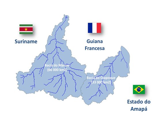
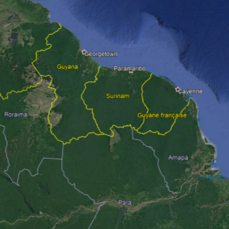
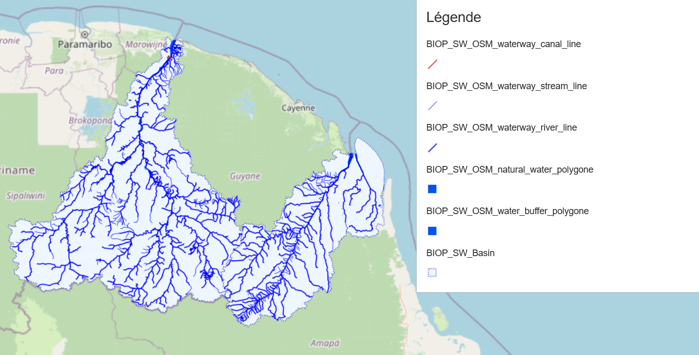
Le projet BIO-PLATEAUX est une initiative de coopération transfrontalière sur les bassins versants partagés du Maroni (Guyane/Suriname) et de l’Oyapock (Guyane/Amapa).

Il vise à valoriser les ressources en eau et la biodiversité liée aux milieux aquatiques par l’intégration progressive de l’information disponible entre acteurs ; qu’ils soient producteurs et/ou consommateurs de données.

Il proposera des solutions concrètes aux enjeux de connaissance (hétérogénéité, langage commun, disparités de l’information disponible).

Cette démarche est indispensable à la bonne prise en compte des défis relatifs à la gestion des ressources et de la biodiversité, via l’identification des pressions existantes, qui est un préalable aux choix de réponses adaptées.   

En phase préliminaire, ce portail vise à présenter à titre de démonstration, des exemples de traitements et services envisagés et à faciliter le partage d'information dans le cadre du projet.
Carte_2_BV2.jpg
Carte_2_BV2.jpg
map_region.png
map_region.png
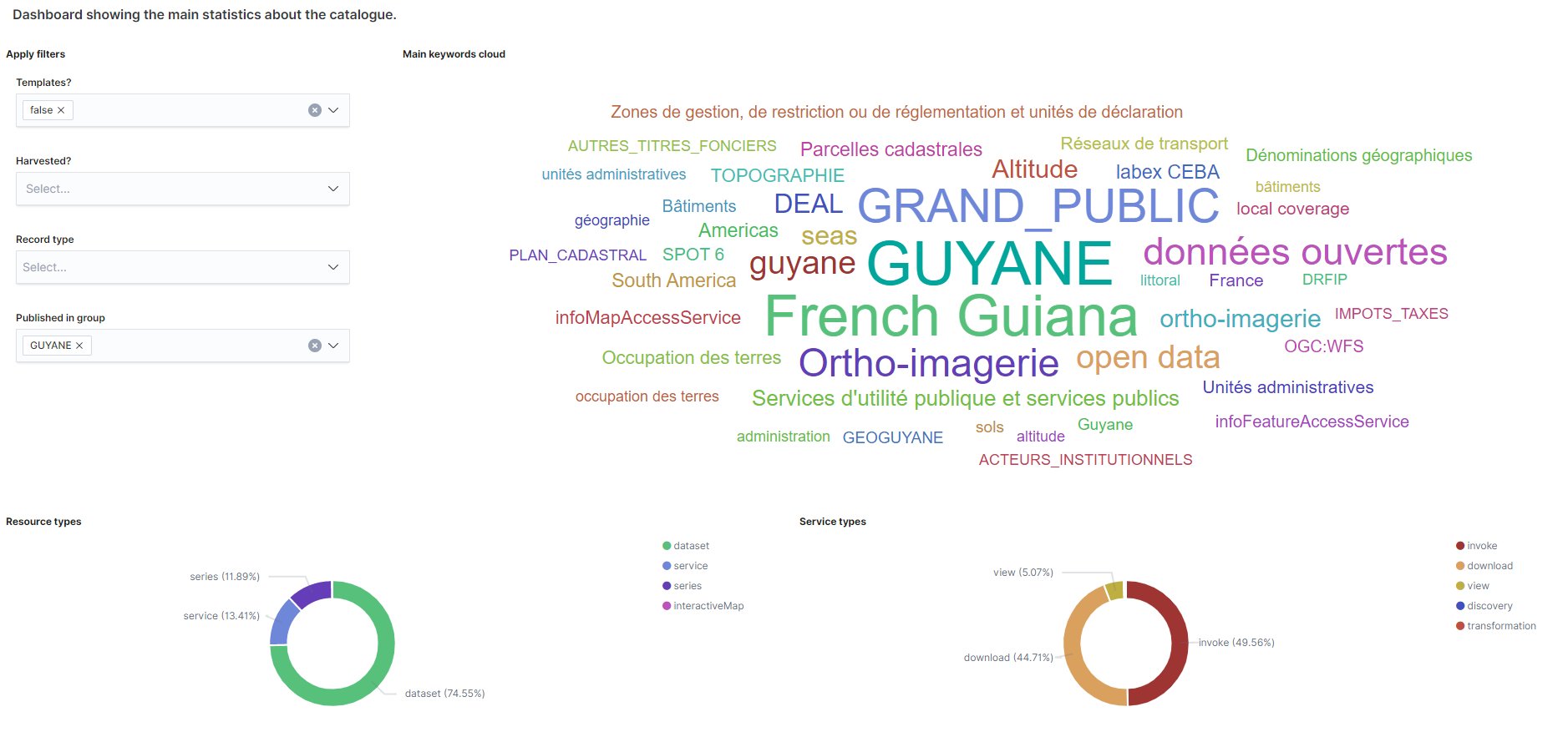
Cat_stat_bioplateaux.jpg
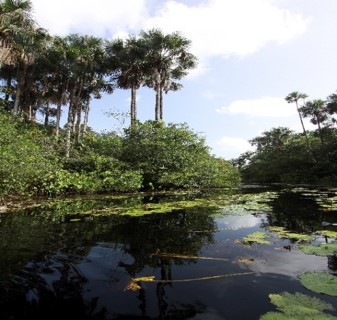
photo_biodiv_river01.jpg
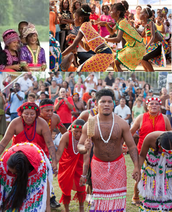
photo_ethnic_diversity.png
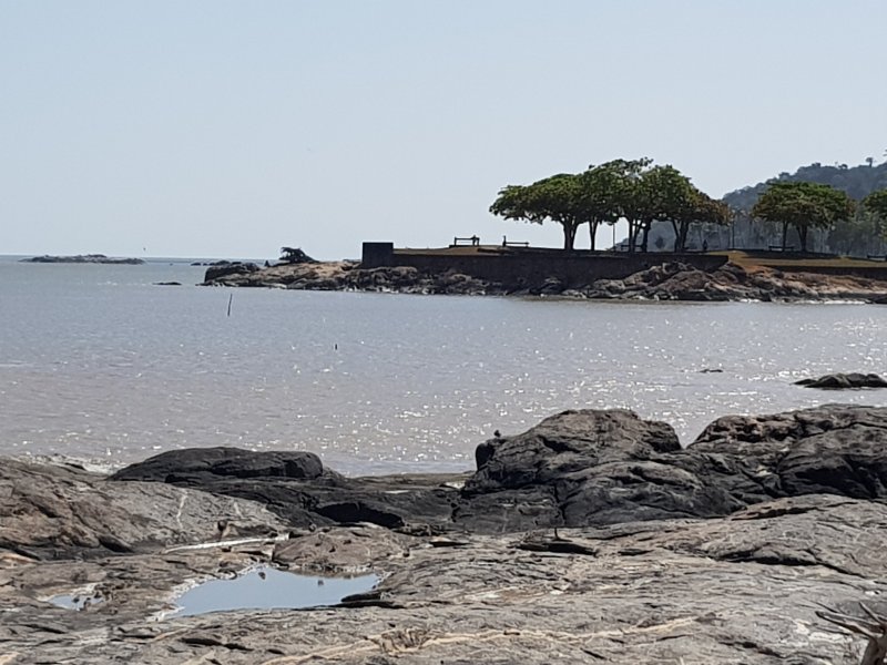
20190922_093009-800.jpg
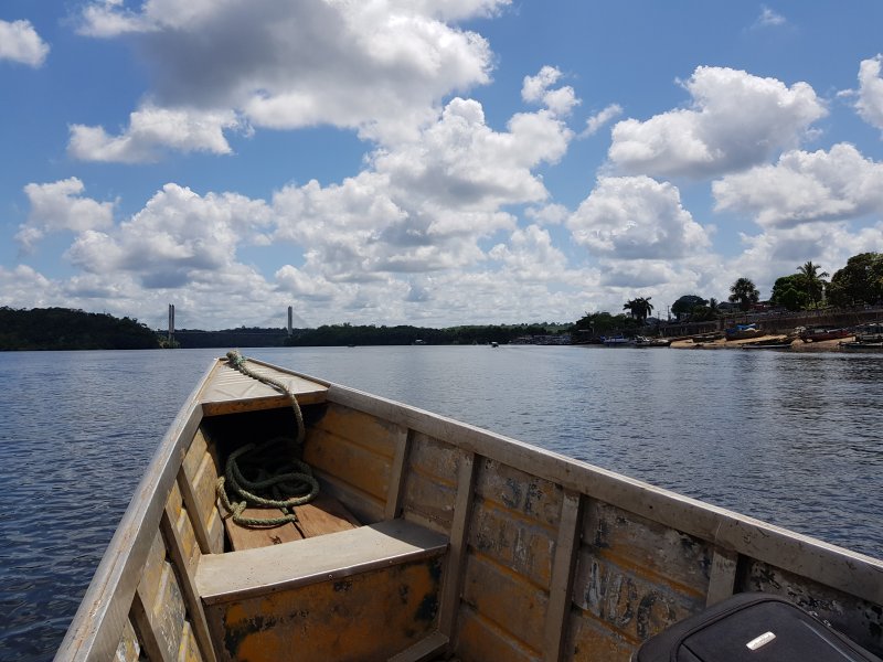
20190925_105029_800.jpg
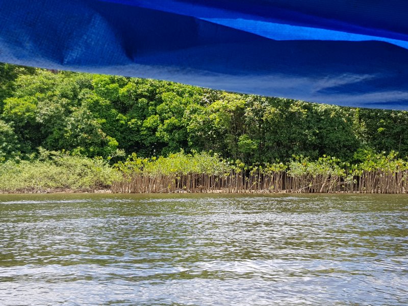
20190925_105747-800.jpg
PlayPause
previous arrow
next arrow
Shadow

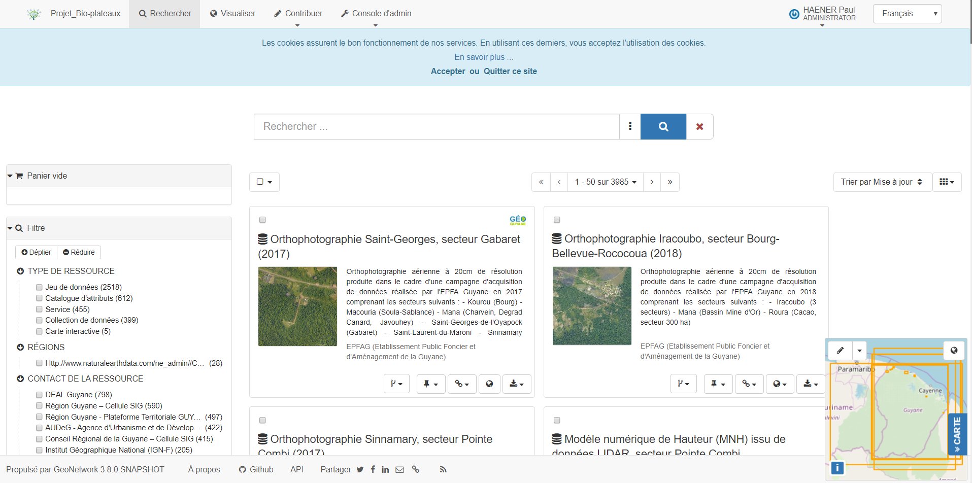
Online metadata catalogue of the Bio-Plateaux project

Online metadata catalogue of the Bio-Plateaux project
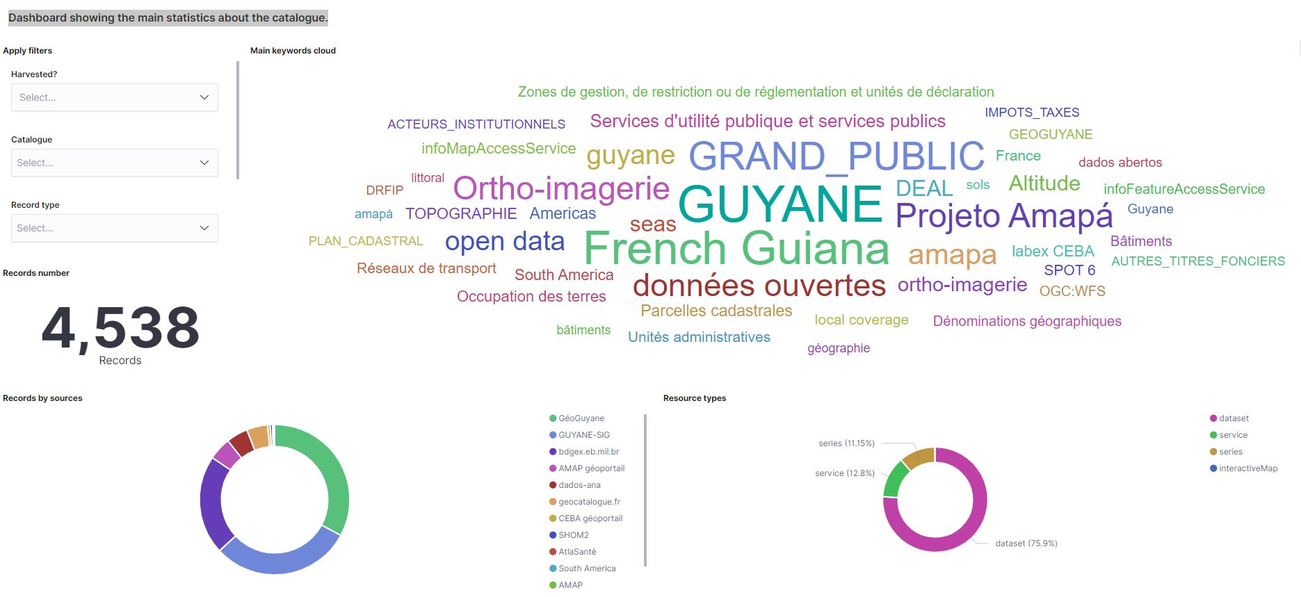
Statistics about the metadata catalogues
Image

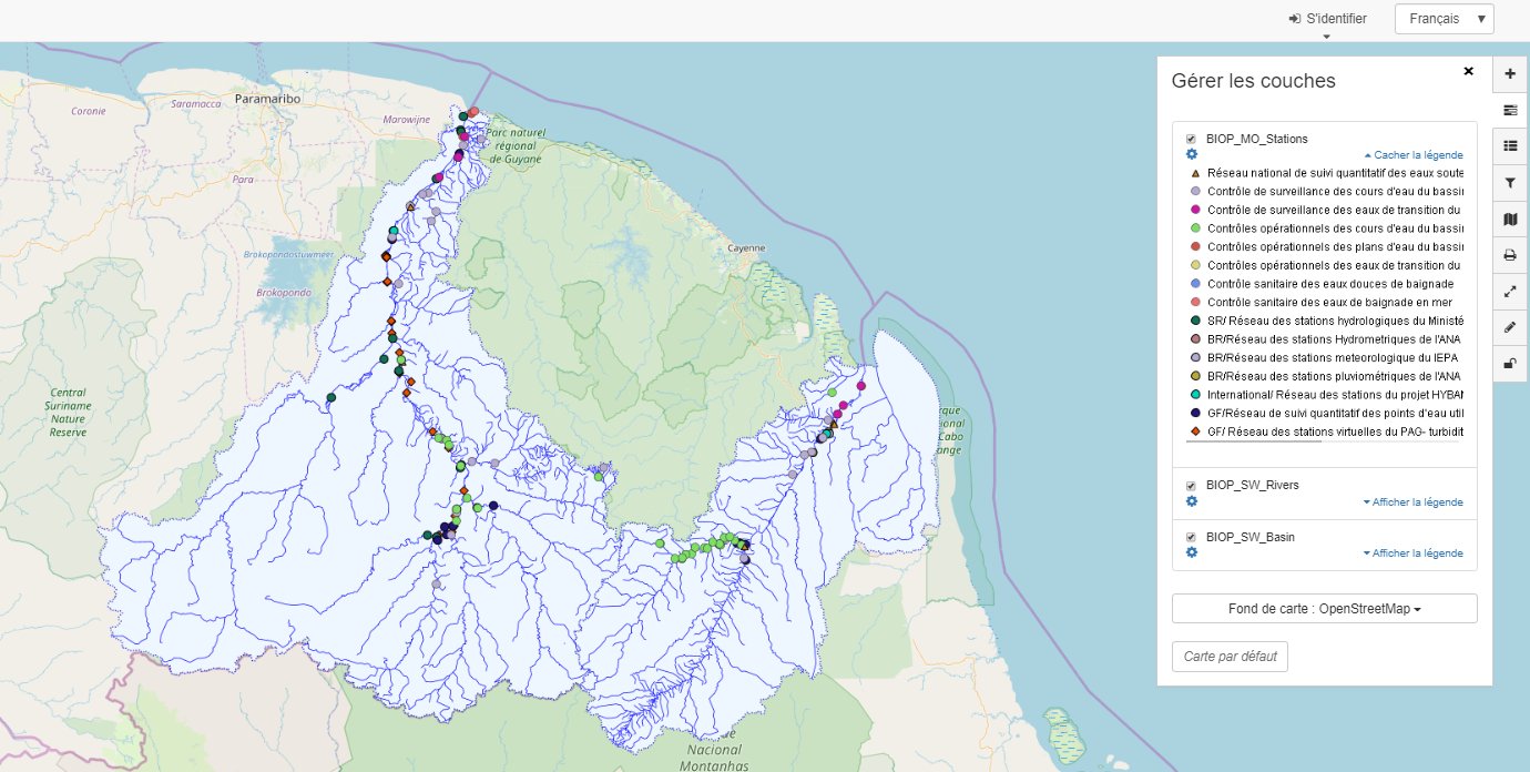
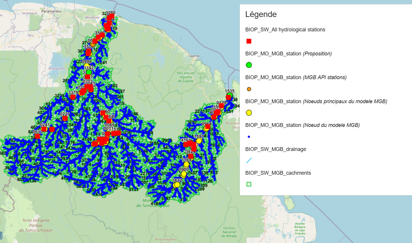
Interactive map with all identified monitoring points on the Bio-Plateaux project area

Image

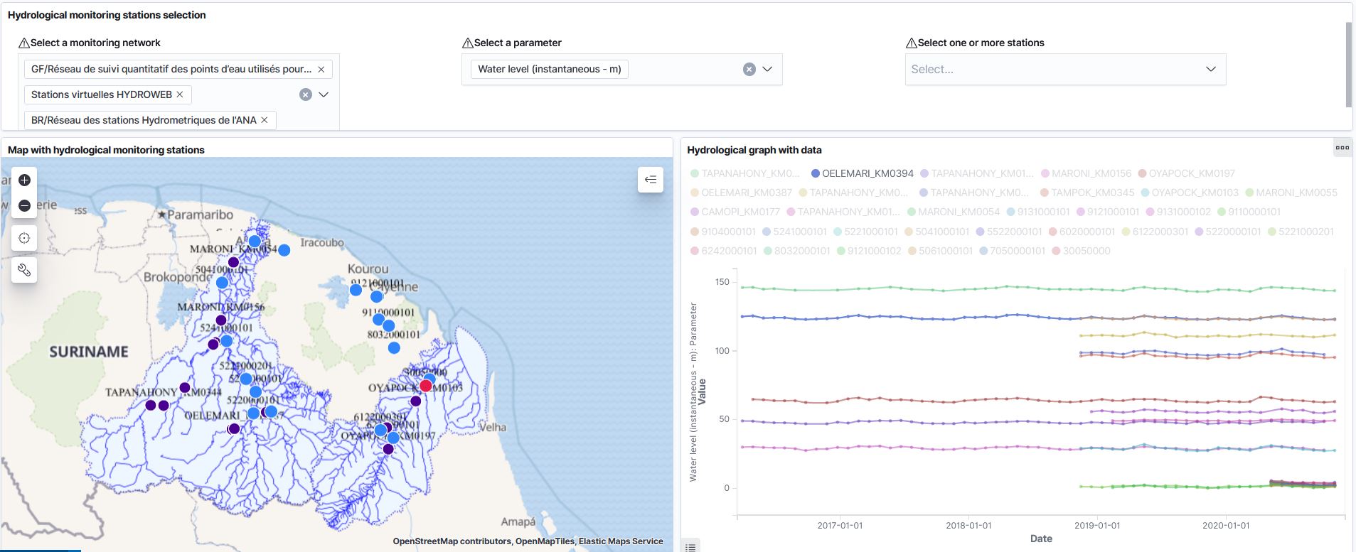
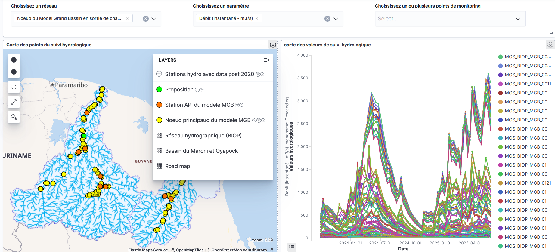
Hydrological data (draft)

Image

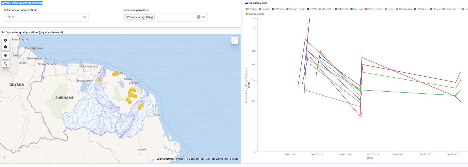
Surface water quality data

Image

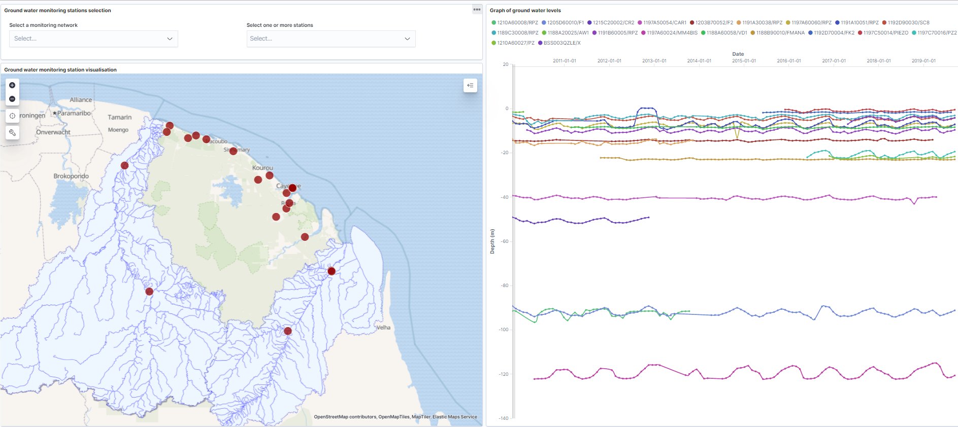
Groundwater piezometric values in GF

Groundwater piezometric values in GF

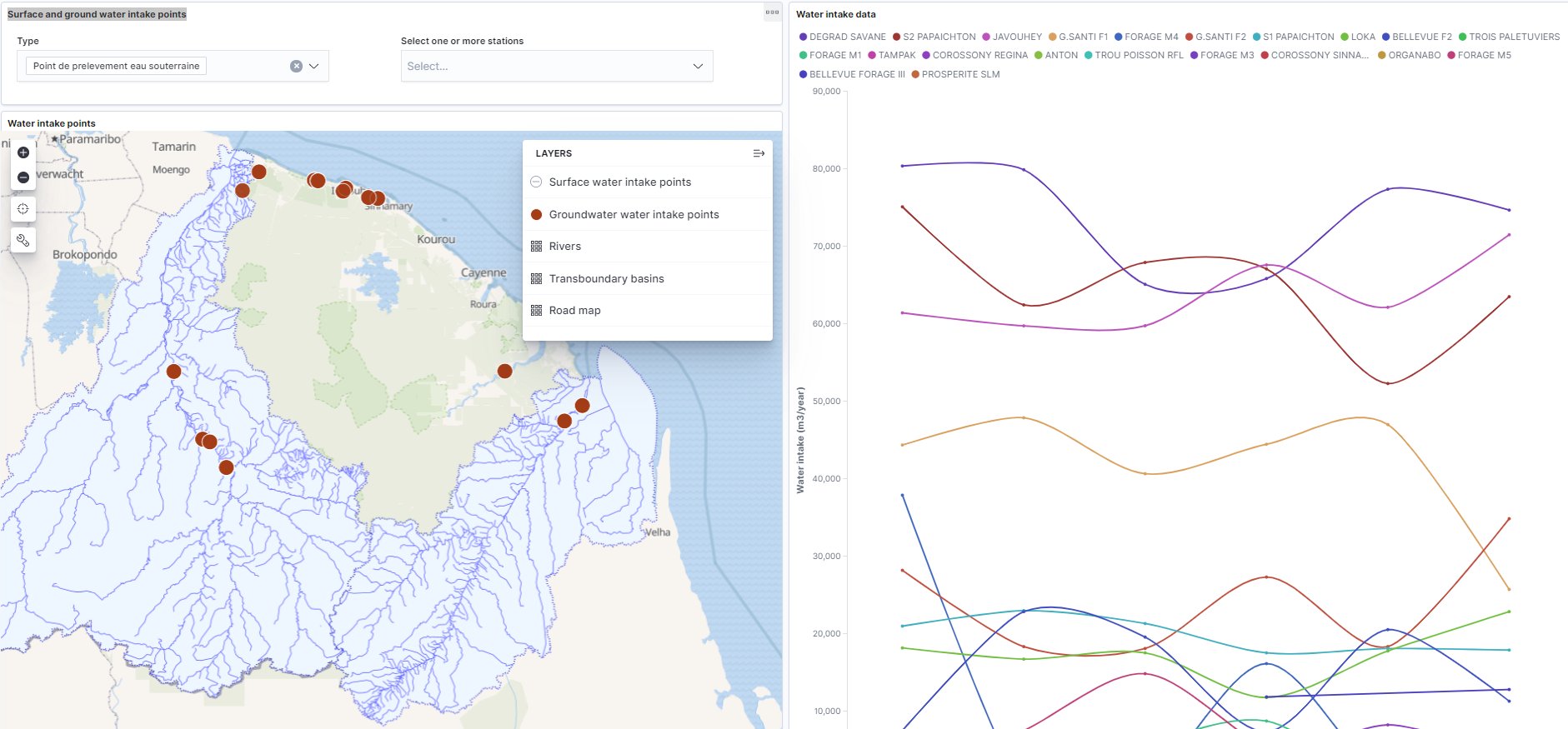
Volumes of surface and ground water intakes in GF (source BNPE/OEG)

Image

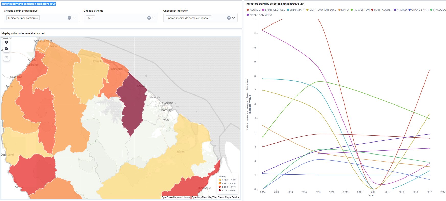
Water supply and sanitation indicators in GF

Image

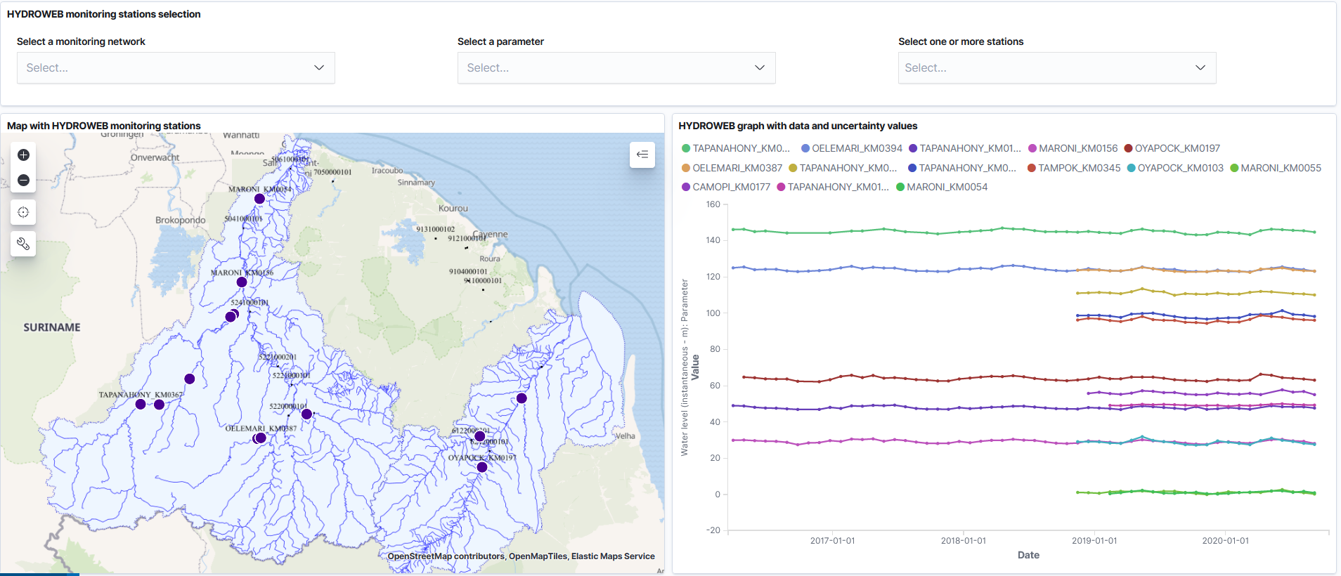
HYDROWEB monitoring stations data with uncertainty values

Image

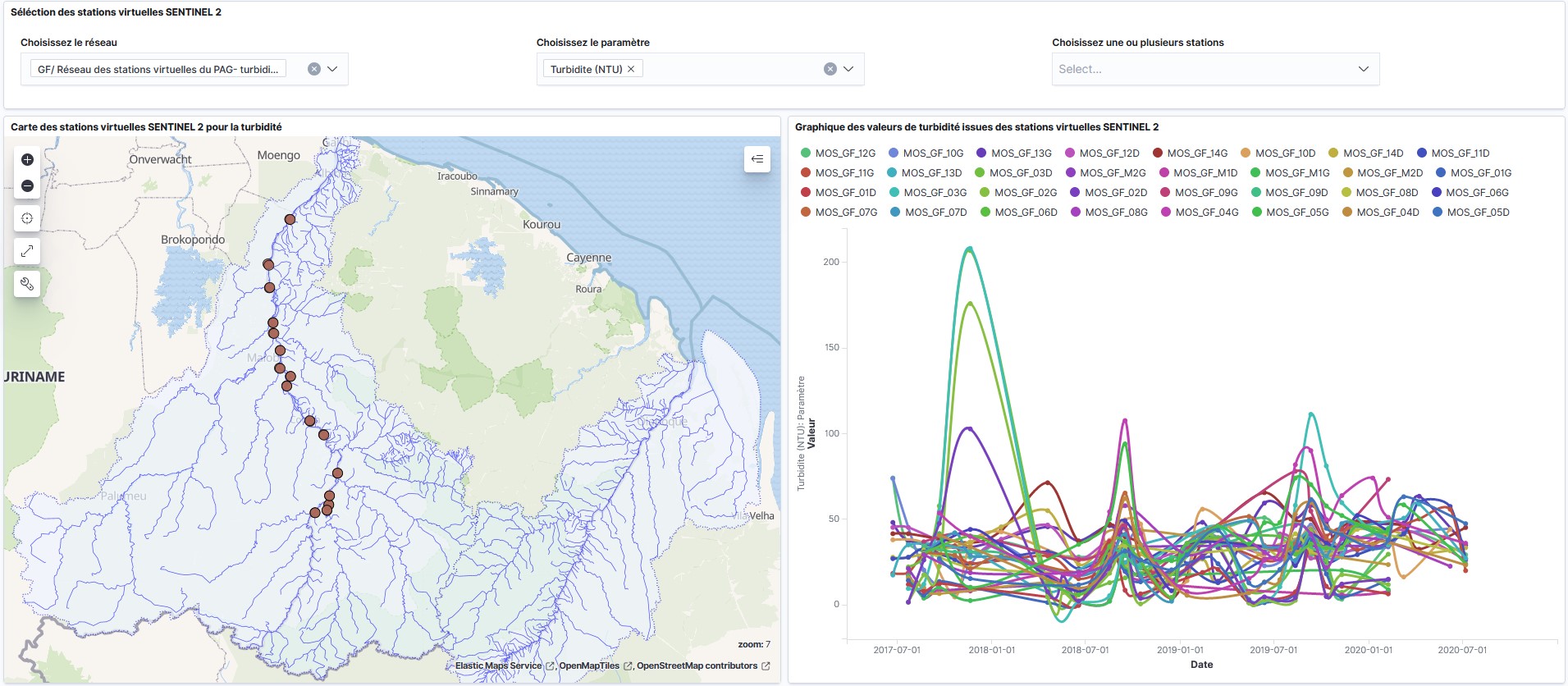
SENTINEL 2 turbidity monitoring stations data

Image

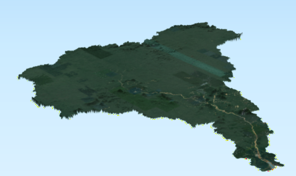
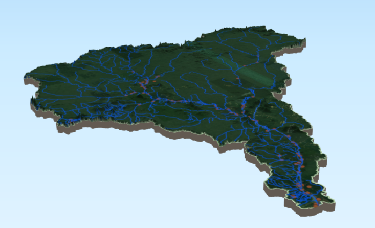
MNT Maroni 3D

Image

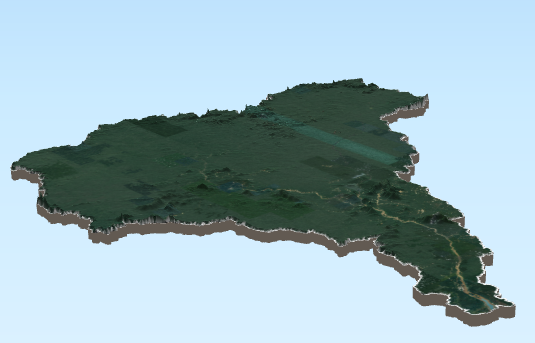
Maroni 3D avec socle

Image

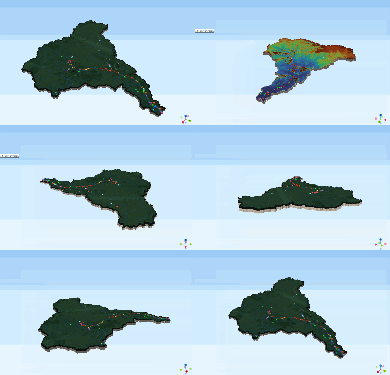
Maroni 3D avec réseau hydro et stations

Image

animation 3D Bassin Maroni

Image

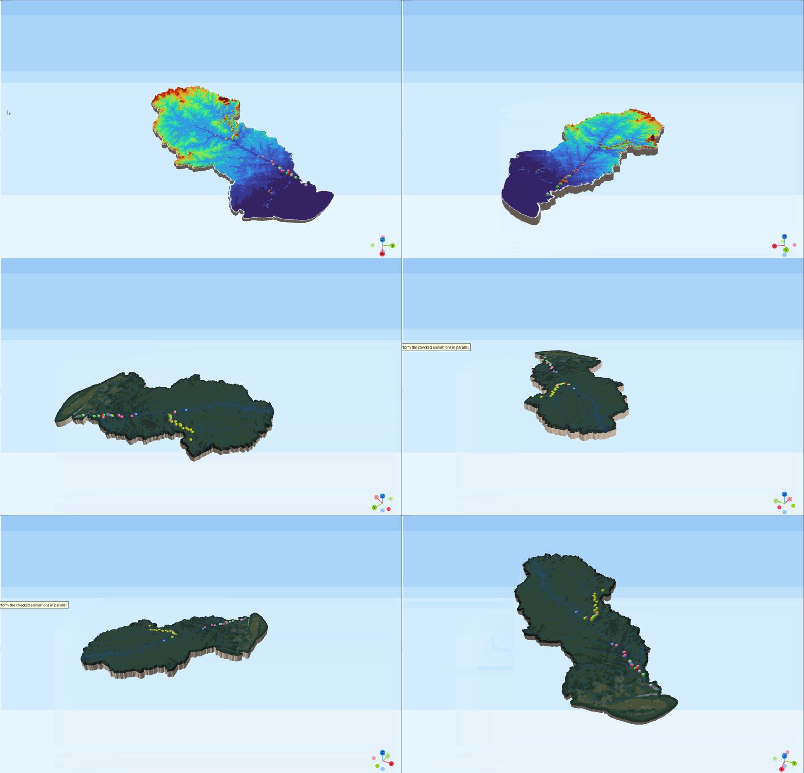
animation 3D bassin Oyapock

Image