Global
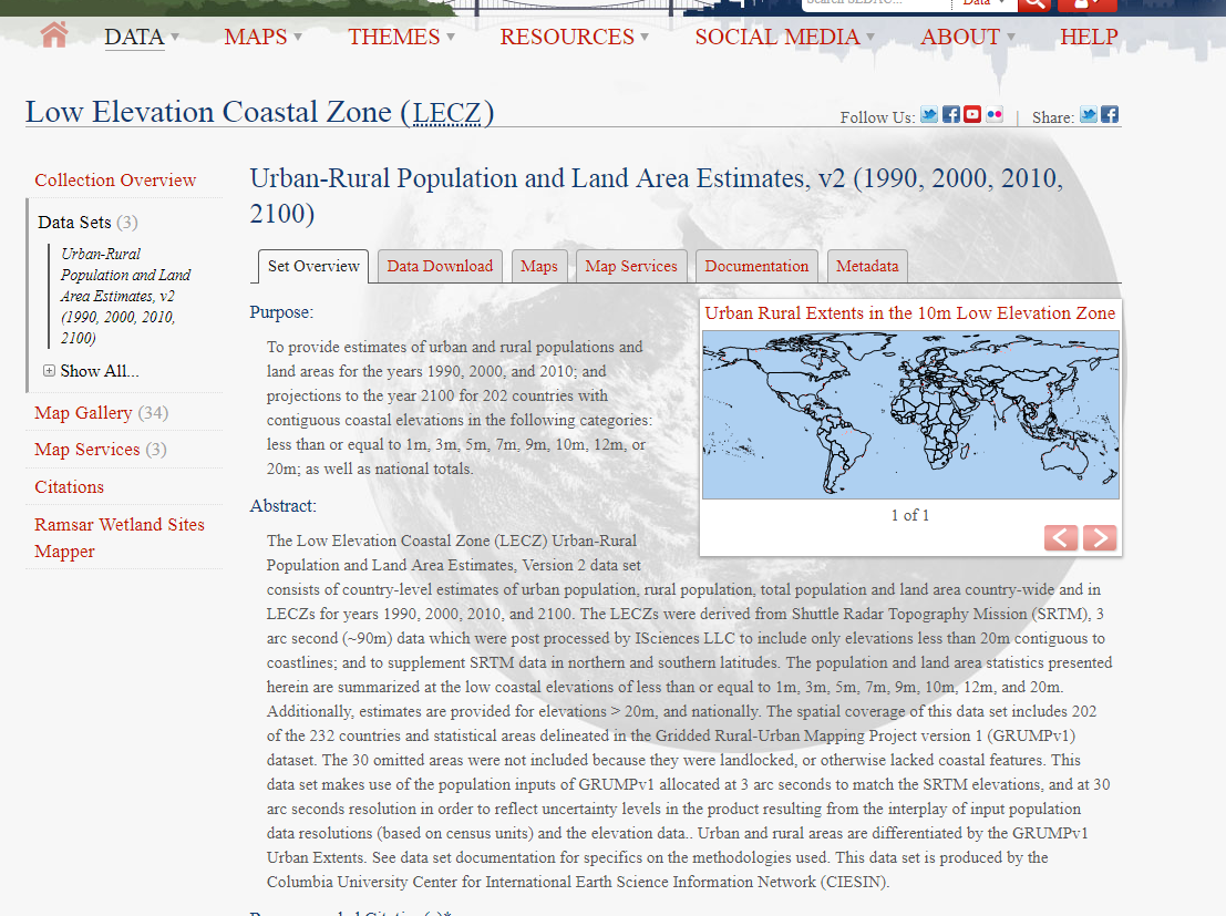
Urban-Rural Population and Land Area Estimates
The Low Elevation Coastal Zone (LECZ) Urban-Rural Population and Land Area Estimates, Version 2 data set consists of country-level estimates of urban population, rural population, total population and land area country-wide and in LECZs for years 1990, 2000, 2010, and 2100.
Simple
- Date (Publication)
- 2013
- Contact pour la ressource
-
Nom de l'organisation Nom de la personne Adresse e-mail Rôle NASA Socioeconomic Data and Applications Center (SEDAC)
ciesin.info@ciesin.col ciesin.info@ciesin.columbia.edu
Point de contact
- Fréquence de mise à jour
- Lorsque nécessaire
-
IWRM Country Basin
-
-
World
-
-
IWRM themes
-
-
Users/polluters
-
- Contraintes d'accès
- Droit d’auteur / Droit moral (copyright)
- Contraintes d'utilisation
- Autres restrictions
- Type de représentation spatiale
- Tabulaire
- Langue de la ressource
- English
- Encodage des caractères
- Utf8
- Catégorie ISO
-
- Société
))
- Nom du système de référence
- WGS 1984
- Ressource en ligne
-
Protocole Adresse Internet Nom WWW:LINK-1.0-http--link
http://sedac.ciesin.columbia.edu/data/set/lecz-urban-rural-population-land-area-estimates-v2 Urban-Rural Population and Land Area Estimates
- Niveau
- Application
Métadonnées
- Identifiant de la fiche
- dcf5562b-8489-4993-953e-ea7940f70ac5 XML
- Langue
- English
- Jeu de caractères
- Utf8
- Type de ressource
- Application
- Date des métadonnées
- 2018-03-28T11:24:51
- Nom du standard de métadonnées
-
ISO 19115:2003/19139
- Version du standard de métadonnées
-
1.0
- Contact
-
Nom de l'organisation Nom de la personne Adresse e-mail Rôle NASA Socioeconomic Data and Applications Center (SEDAC)
ciesin.info@ciesin.col ciesin.info@ciesin.columbia.edu
Point de contact
Aperçus
Étendue spatiale
Fourni par