WRI Major Watersheds of the World Deliniation
Vector data showing the outlines of major watersheds (river basins) across the world.
Simple
- Date (Creation)
- 2006-11-07
- Point of contact
-
Organisation name Individual name Electronic mail address Role FAO - Aquaculture Management and Conservation Service (FIMA)
Jose Aguilar-Manjarrez
Custodian FAO - Aquaculture Management and Conservation Service (FIMA)
Owner FAO - Aquaculture Management and Conservation Service (FIMA)
Publisher World Resources Institute (WSofW) - Watersheds of the World
Originator
- Maintenance and update frequency
- As needed
-
IWRM Country Basin
-
-
IWRM themes
-
- Access constraints
- Copyright
- Use constraints
- Other restrictions
- Spatial representation type
- Vector
- Language
- English
- Character set
- UTF8
- Topic category
-
- Inland waters
N
S
E
W
))
- Reference system identifier
- WGS 1984
Digital transfer options
- OnLine resource
-
Protocol Linkage Name WWW:LINK-1.0-http--link
http://www.fao.org/geonetwork/srv/en/metadata.show?id=30914 WRI MAJOR WATERSHEDS OF THE WORLD DELINEATION
- Hierarchy level
- Application
Metadata
- File identifier
- cf378053-ad5a-48dd-a57a-ce3a1a9e0a6e XML
- Metadata language
- English
- Character set
- UTF8
- Hierarchy level
- Application
- Date stamp
- 2018-03-28T11:33:24
- Metadata standard name
-
ISO 19115:2003/19139
- Metadata standard version
-
1.0
- Metadata author
-
Organisation name Individual name Electronic mail address Role Joe Dooley
Processor
- Other language
-
Language Character encoding English UTF8
Overviews
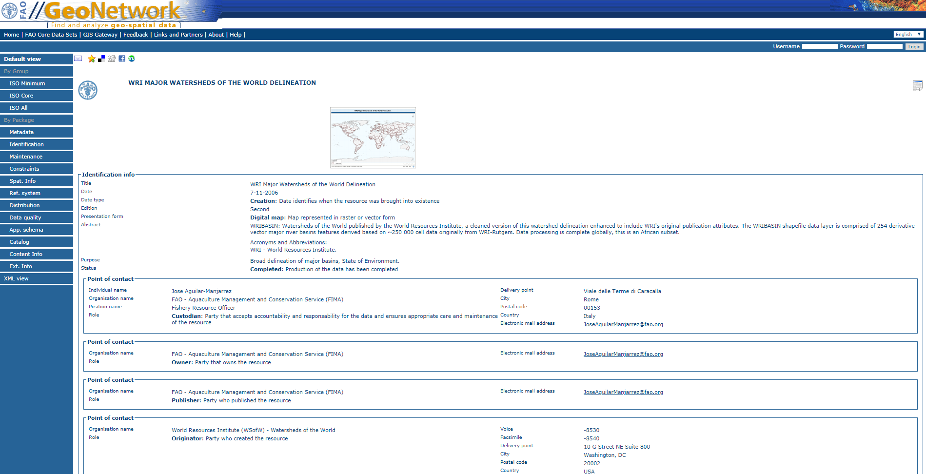
WRI MAJOR WATERSHEDS OF THE WORLD DELINEATION.png
Spatial extent
)))
Provided by