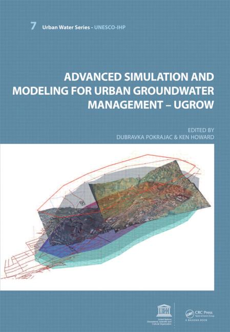
Advanced Simulation and Modeling for Urban Groundwater Management - UGROW
UGROW (Urban GROundWater) represents one of the most advanced urban water management tools produced to date and fully integrates all urban water system components including groundwater. The model has a sound scientific basis, is computationally efficient, and is supported by outstanding graphics. Developed as part of the sixth Phase of UNESCO’s International Hydrological Programme (IHP-IV), UGROW was tested and refined under a range of demanding urban conditions.
Simple
- Date (Publication)
- 2010
- Contact pour la ressource
-
Nom de l'organisation Nom de la personne Adresse e-mail Rôle UNESCO publishing
Editeur (publication)
- Fréquence de mise à jour
- Lorsque nécessaire
- Contraintes d'accès
- Droit d’auteur / Droit moral (copyright)
- Contraintes d'utilisation
- Droit d’auteur / Droit moral (copyright)
- Type de représentation spatiale
- Vecteur
- Langue de la ressource
- English
- Encodage des caractères
- Utf8
- Catégorie ISO
-
- Télécommunication, approvisionnement et énergie
N
S
E
W
))
- Nom du système de référence
- WGS 1984
- Ressource en ligne
-
Protocole Adresse Internet Nom WWW:LINK-1.0-http--partners
http://publishing.unesco.org/details.aspx?Code_Livre=4776 UGROW
- Niveau
- Jeu de données
Métadonnées
- Identifiant de la fiche
- 6c1d1a2a-8a94-4f91-8e0b-dff446ff5615 XML
- Langue
- English
- Jeu de caractères
- Utf8
- Date des métadonnées
- 2017-06-06T15:56:00
- Nom du standard de métadonnées
-
ISO 19115:2003/19139
- Version du standard de métadonnées
-
1.0
- Contact
-
Nom de l'organisation Nom de la personne Adresse e-mail Rôle UNESCO publishing
Point de contact
Aperçus

UGROW
Étendue spatiale
N
S
E
W
))
Fourni par

Ressources associées
Not available
 Global