 Catalogue EECCA
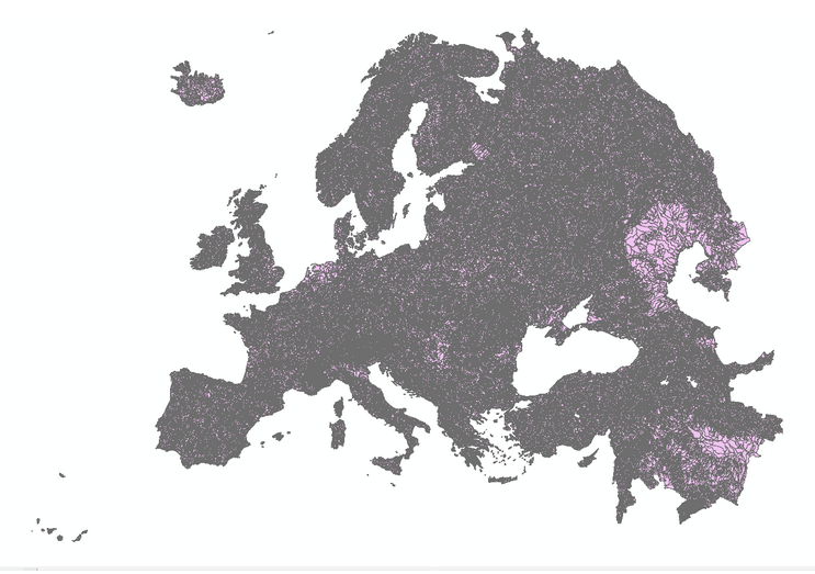
European catchments and Rivers network system (Ecrins)
Ecrins - European catchments and Rivers network system. It is a geographical information system of the European hydrographical systems with a full topological information. Ecrins is a composite system made from the CCM developed by the JRC, Corine land Cover, WFD reporting elements, etc. Catchments are grouped as sub-basins, river basin districts. Catchments are drained by 1,348,163 river segments, sorted as “main drains” (connecting together the FECs) and secondary drains (internal to a FEC). River segments mimic the natural drainage, however fulfilling the topological constraint of “0,1 or 2 upstreams, single or 0 downstream”.
Simple
- Date (Publication)
- 2012-06-13T16:04:00
- Point of contact
-
Organisation name Individual name Electronic mail address Role Europrean Environment Agency
Author
-
IWRM Country Basin
-
-
Armenia
-
Azerbaijan
-
Belarus
-
Georgia
-
Moldova
-
Ukraine
-
Kazakhstan
-
-
IWRM themes
-
-
Surface water
-
- Access constraints
- Copyright
- Use constraints
- Copyright
- Spatial representation type
- Vector
- Denominator
- 200000
- Topic category
-
- Inland waters
))
- Distribution format
-
Name Version Shape
EPSG:3035
- OnLine resource
-
Protocol Linkage Name WWW:LINK-1.0-http--link
https://www.eea.europa.eu/data-and-maps/data/european-catchments-and-rivers-network#tab-figures-produced EEA - Ecrins
- Hierarchy level
- Dataset
Metadata
- File identifier
- 40325669-20d0-4286-b4a3-038d50236183 XML
- Metadata language
-
eng
- Character set
- UTF8
- Date stamp
- 2018-05-09T14:15:55
- Metadata standard name
-
ISO 19115:2003/19139
- Metadata standard version
-
1.0
- Metadata author
-
Organisation name Individual name Electronic mail address Role Europrean Environment Agency
Author
- Other language
-
Language Character encoding Russian English UTF8
)))