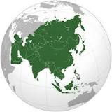
 Asia
Asia
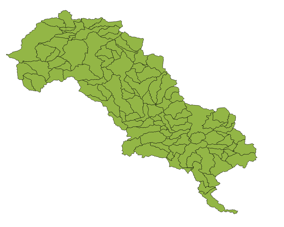
GIS layer of the sub-basin in the whole Luan basin
This map file shows the sub-basin for whole Luan basin.
Simple
- Date (Publication)
- 2017-08-28
- Point of contact
-
Organisation name Individual name Electronic mail address Role Pengyu Zhang
Point of contact
- Maintenance and update frequency
- As needed
-
IWRM themes
-
-
Surface water
-
-
IWRM Country Basin
-
-
Sub-basin Luan
-
- Access constraints
- Copyright
- Use constraints
- otherRestictions
- Spatial representation type
- Vector
- Language
- English
- Character set
- UTF8
- Topic category
-
- Inland waters
N
S
E
W
))
- Reference system identifier
- WGS 1984
- Hierarchy level
- Dataset
Metadata
- File identifier
- 89c790fb-866f-4907-aa12-53fcaf86a569 XML
- Metadata language
- English
- Character set
- UTF8
- Date stamp
- 2018-02-09T12:18:18
- Metadata standard name
-
ISO 19115:2003/19139
- Metadata standard version
-
1.0
- Metadata author
-
Organisation name Individual name Electronic mail address Role Pengyu Zhang
Point of contact
- Other language
-
Language Character encoding Chinese(Other) English UTF8
)))