GIS layer of the provincial level administrative regions in China
shp layer: represents the border between the provinces in China
Created by: Institute of Geographic Sciences and Natural Resources Research, Chinese Academy of Sciences
Website address: www.resdc.cn
Can be downloaded, need to apply on the home page
Simple
- Point of contact
-
Organisation name Individual name Electronic mail address Role Institute of Geographic Sciences and Natural Resources Research, Chinese Academy of Sciences
Xinliang XU
Point of contact
-
IWRM themes
-
-
Administrative context
-
-
IWRM Country Basin
-
-
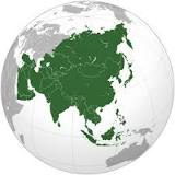
China
-
-
GEMET - INSPIRE themes, version 1.0
-
- Keywords
-
Resource constraints
- Use limitation
-
copyright
- Denominator
- 250000
- Topic category
-
- Description
-
中国
- Description
-
中国
N
S
E
W
))
- Description
-
中国
N
S
E
W
- Distribution format
-
Name Version GIS vector layer
- OnLine resource
-
Protocol Linkage Name WWW:LINK-1.0-http--link
http:// Consult or download the document
咨询或下载文件
- Hierarchy level
- Dataset
Metadata
- File identifier
- 325ca6fdcdf9722e53f519ff4d6d59b89e83d644d41f794c81b8388c85e6510d XML
- Metadata language
- English
- Character set
- UTF8
- Hierarchy level
- Dataset
- Hierarchy level name
-
地理数据集(位图/矢量图)
- Date stamp
- 2018-02-09T16:42:56
- Metadata standard name
-
ISO 19115:2003/19139
- Metadata standard version
-
1.0
- Metadata author
-
Organisation name Individual name Electronic mail address Role Bibo Environmental Resources Development Co., Ltd. Tianjin
Pengyu ZHANG
Point of contact
- Other language
-
Language Character encoding Chinese(Other) English UTF8
Overviews
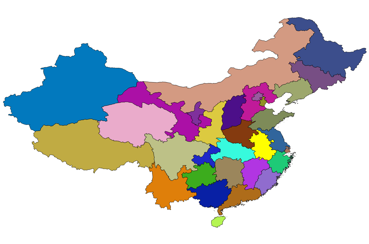
provincial level administrative regions in China
Spatial extent
),POLYGON((134.77%2015.775,134.77%2053.569,73.602%2053.569,73.602%2015.775,134.77%2015.775))))
Provided by